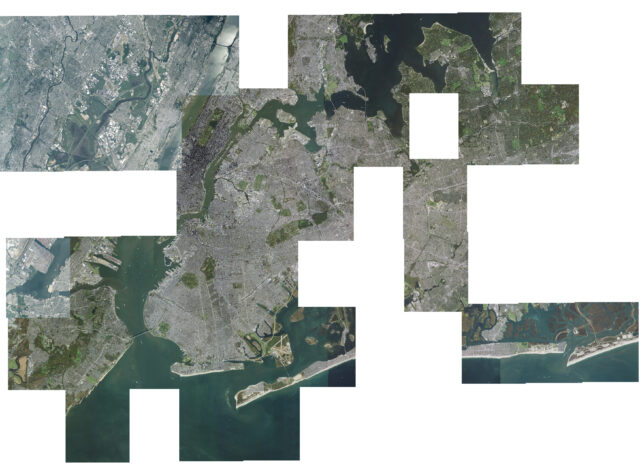
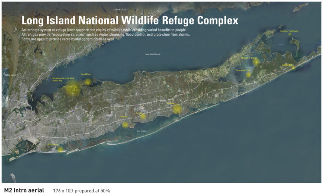
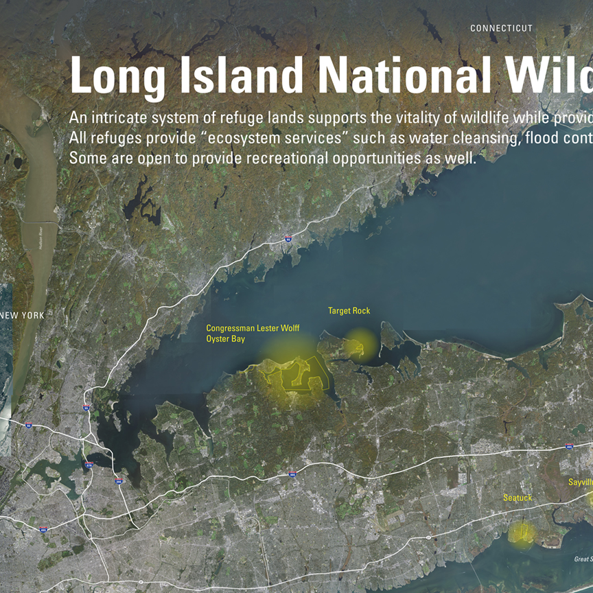
This aerial image of Long Island was built one mosaic unit at a time using the USGS Earth Explorer web page. There are 494 mosaic images required to show Long Island and the parts of New York state and Connecticut that border Long Island Sound. An aerial image of Long Island from the US Food and Drug Administration was purchased but the resolution was too low, and the color was poor. The resulting art file will be used for both a 72″ interactive table system and a 14′-6″ wall mural.

The full mural image below highlights the 10 sites the US Fish and Wildlife Service manages. The interactive will provide visitors information about the history, wildlife, feature species and accessiblity of each site. Many of the locations are not accessible to the public.


